Archive for the 'DOCUMENTS' Category
WEBCARTE DRONE PAR F-AERO : UNE APPLICATION GRATUITE
mercredi, mai 14th, 2014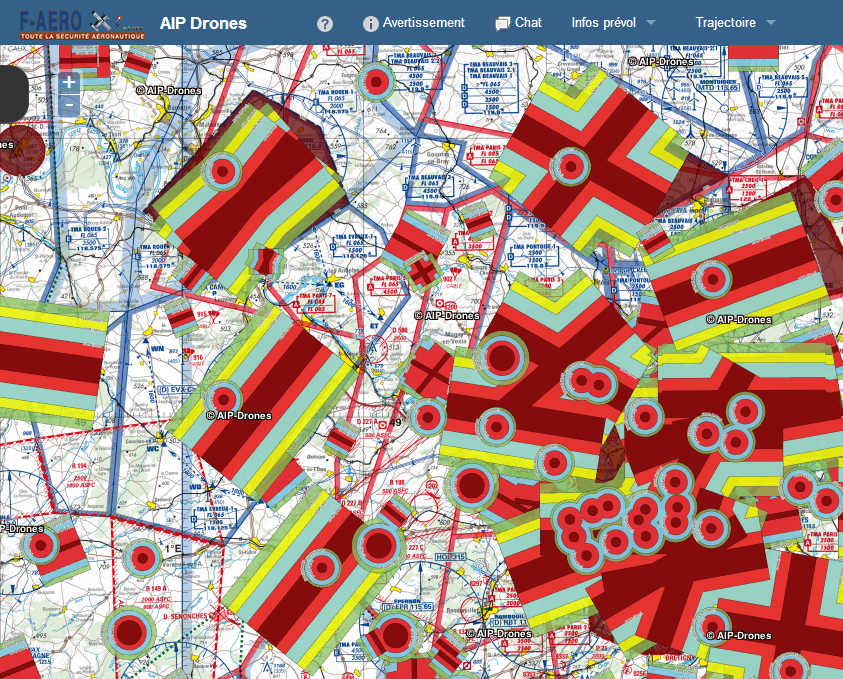 |
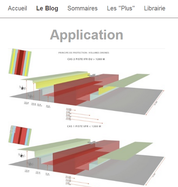
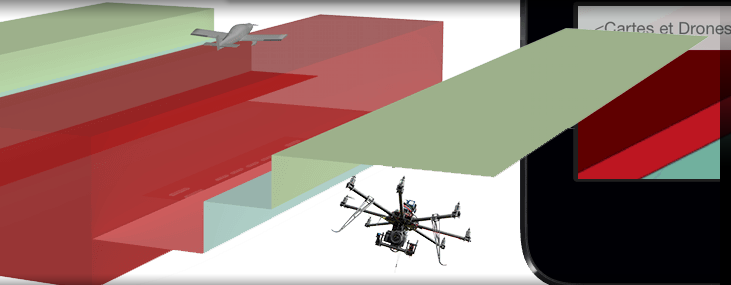
| Accédez gratuitement à la Webcarte Drone Nous venons tout juste de lancer une nouvelle application gratuite: le Webservice AIP-DRONES. Vous pouvez immédiatement découvrir cette aide cartographique et ce support d’information permettant d’appréhender les exigences liées à l’espace aérien des drones, et ce, gratuitement !Vous pourrez ainsi profiter de façon illimitée du Webservice AIP-DRONES Live, mais en mieux – avec les mises à jours futures régulières. |
Warning: strlen() expects parameter 1 to be string, array given in /home/volets/www/WP/wp-content/themes/khaki-traveler/archive.php on line 94
APP iPAD CARTE DRONES
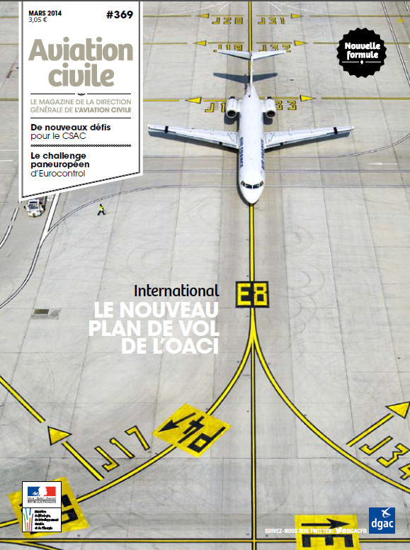
mardi, avril 22nd, 2014AVIATION CIVILE MAGAZINE MARS 2014
jeudi, avril 3rd, 2014AOPA : INFORMATION AÉRONAUTIQUE
jeudi, mars 27th, 2014RAPPEL : USING ADVANCED NAVIGATION TECHNOLOGY SAFELY
mercredi, mars 26th, 2014SAVOIR POUR PRÉVOIR
mercredi, mars 26th, 2014Les affiches pédagogiques du symposium du 13 décembre dernier.
Warning: strlen() expects parameter 1 to be string, array given in /home/volets/www/WP/wp-content/themes/khaki-traveler/archive.php on line 94
PLAN D’ACTION STRATÉGIQUE D’AMÉLIORATION DE LA SÉCURITÉ – HORIZON 2018
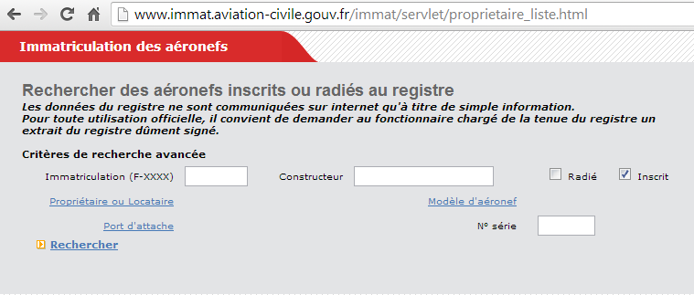
mardi, mars 25th, 2014RECHERCHE DES AÉRONEFS INSCRITS OU RADIÉS AU REGISTRE
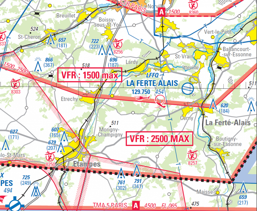
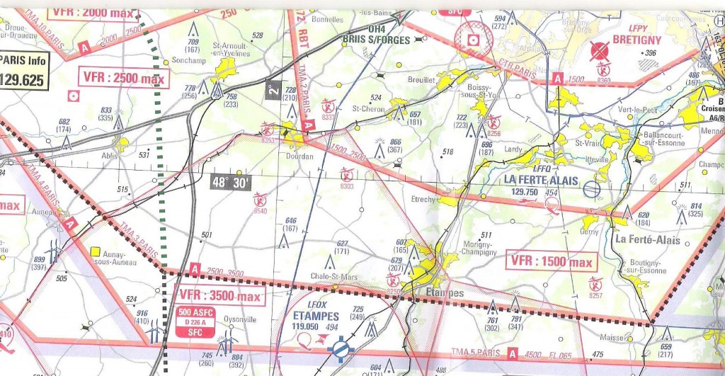
mardi, mars 25th, 2014CARTE RÉGION PARISIENNE 1/250K : ERRATUM
mercredi, mars 19th, 2014Le SIA vous informe :
Référence Carte France Région Parisienne au 1/250 000 datée du 6 mars 2014 : Plafond VFR sous la TMA3 Paris entre Etampes et la Ferté-Allais : Lire « 2500 MAX » au lieu de « 1500 MAX » – Voir extrait de la carte corrigée Erratum RP 250 000 ci-joint.
Warning: strlen() expects parameter 1 to be string, array given in /home/volets/www/WP/wp-content/themes/khaki-traveler/archive.php on line 94
